The Indian Institute of Technology Mandi has launched a major scientific initiative to enhance earthquake preparedness in the Himalayan region, following Himachal Pradesh’s complete classification under Seismic Zone-VI—India’s highest risk category in the updated earthquake map. Funded by the Indian Space Research Organisation, the three-year project aims to develop time-independent forecasting models for earthquakes of magnitude 6 and above.
Cutting-Edge Technology Integration
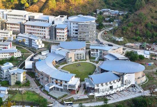
The project, based at IIT Mandi’s School of Civil and Environmental Engineering, combines conventional seismic records with advanced satellite-based technologies. Principal investigator Mahesh Reddy leads the initiative alongside co-investigators Dericks P. Shukla and Dhanya J. Global Navigation Satellite System data will track tectonic plate movements with millimetre-level precision, while Interferometric Synthetic Aperture Radar will detect land deformation, uplift, subsidence, and stress accumulation along fault zones. These tools will enable scientists to monitor slow geodynamic changes that often precede major earthquakes.
Expanding Across the Himalayas
Initially focused on Mandi, the study will later expand across the Himalayan belt to identify areas with higher seismic event probabilities. Researchers will analyse geological formations, slope stability, rock composition, and historical seismicity throughout the 36-month period. “The project will result in a scientifically validated model capable of improving seismic risk assessment and planning,” said Associate Professor Shukla.
Critical for Infrastructure Development
Findings will directly inform disaster-management strategies and earthquake-resistant building norms—particularly vital as Himachal witnesses rapid expansion of tunnels, hydropower projects, rail lines, and highways. The initiative will also develop skilled manpower in seismology, geoinformatics, and remote sensing, strengthening long-term capacity to address seismic hazards in India’s vulnerable mountain regions.