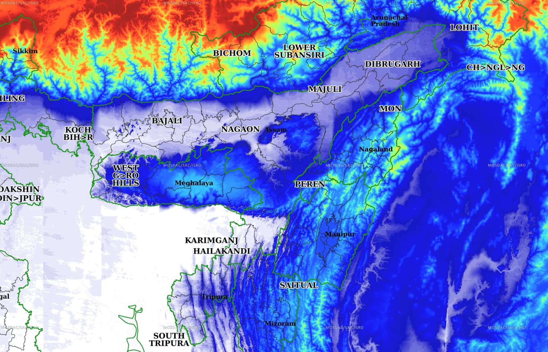
The Central Government has informed the Lok Sabha that the Indian Space Research Organisation (ISRO) supplied 78 flood inundation maps and other value-added products to the Assam State Disaster Management Authority (ASDMA) during the 2025 and 2026 monsoon seasons to support flood response and damage assessment.
Replying to an unstarred question by Lok Sabha MP Gaurav Gogoi, Union Minister of State in the Prime Minister's Office Jitendra Singh said that ISRO provided 45 flood inundation maps during the 2025 monsoon and another 33 maps during the 2026 monsoon up to July 28.
The minister informed the House that ISRO prepared the flood maps using data from EOS-04 (RISAT-1A) with an 18-metre resolution, along with Resourcesat-2/2A LISS-IV imagery offering 5.8-metre resolution and AWiFS data with a 56-metre resolution. For damage assessment, the space agency utilised high-resolution imagery from Cartosat-2E, with resolutions of 0.65 metre and 1.6 metres, as well as Cartosat-3, which provides imagery with resolutions of 0.28 metre and 1.1 metres.
According to the government, satellite-based flood inundation maps are disseminated to disaster management authorities within five to six hours of satellite data acquisition, enabling faster response during flood emergencies.
The Centre also informed the Lok Sabha that near real-time satellite-based flood monitoring is currently operational for the Brahmaputra basin. Flood inundation maps generated using Synthetic Aperture Radar (SAR) and optical satellite data are shared through the National Database for Emergency Management (NDEM), the Bhuvan platform and directly with ASDMA.
To strengthen flood monitoring in Assam, ISRO has adopted globally available satellite data, developed semi-automated flood mapping workflows and begun generating district-level flood reports. The government said flood inundation data is now available on the NDEM portal for visualisation at both district and sub-district levels, while high-resolution satellite imagery is used for district-level damage assessment whenever cloud-free images are available.
Reacting to the government's reply, MP Gaurav Gogoi said on X that although ISRO provides near real-time flood monitoring for the Brahmaputra basin and flood data reaches ASDMA within five to six hours, the Sivasagar District Commissioner had stated that the district received barely three hours to respond to the flash floods on July 19, with no prior warning issued.
Gogoi said the government must explain why the available flood monitoring data did not translate into timely alerts and preparedness at the ground level despite the existence of near real-time monitoring systems.